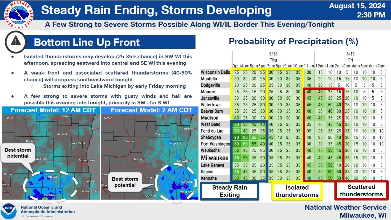
A multi-day rain event is occurring over Wisconsin and Sheboygan County following several weeks of mostly-dry weather that was punctuated by only a few short episodes. The latest, which started early Thursday morning, is a long-duration showery stretch that will allow water to soak in gradually. As of 4 p.m. Thursday the airport had collected a third of an inch for the day. Another third could fall before ending early Friday morning.
Attention then turns to the daytime on Friday when the second of two frontal passages transits west-to-east across the state, exiting here tomorrow night. This will bring a marginal risk of thunderstorms that are capable of producing gusty winds and hail, mainly between 3 and 10 p.m. tomorrow in Sheboygan County.
NWS Graphic
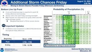
As of now, the chance of showers has been extended through the day on Saturday, but Sunday looks to be sunny and pleasant with temperatures in the mid-upper 70s.


Comments