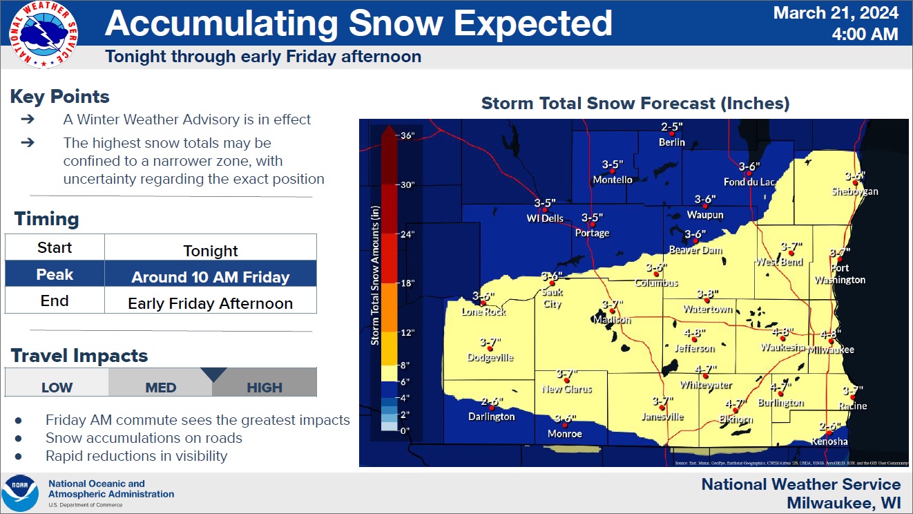
An early spring storm will have a very winter-like feel to it, as snow is forecast throughout the area beginning tonight. Forecasters with the National Weather Service have issued a Winter Weather Advisory in effect from 1 a.m. until 1 p.m. on Friday for likely accumulations of between 3 and 7 inches of snow. And while some snow seems certain, exactly how much in any one spot is hard to nail down, and will depend on where expected heavier snow bands set up.
Forecasters now expect the heaviest potential to be limited to a narrow band oriented from about Madison to Port Washington, but that could line up further north or south. For Sheboygan County, that could mean as little as 3-inch totals in the northwest near the Sheboygan Marsh, or as much as 7-inch totals in the southeast near Random Lake and Cedar Grove.
Slippery travel is expected to be the main hazard throughout the event, with the peak intensity – and worst visibility – around 10 a.m. on Friday, with everything winding down by late afternoon. Saturday looks sunny, but another wet mess could set in on Sunday before transitioning to rain on Monday.
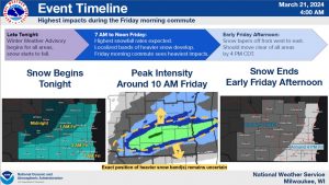
NWS Graphic Indicates the Expected Progress of an Early Spring Storm




Comments