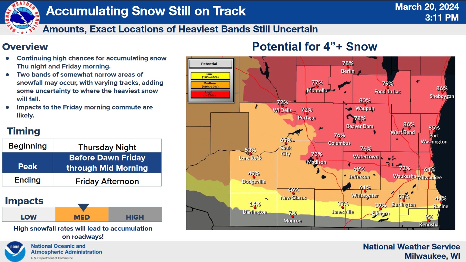
Forecasters are getting a better idea of what effect the next significant weather system might have on the Sheboygan area, and as the event grows closer, confidence has grown in the likelihood of 4 or more inches of snow. The first flakes are likely to begin by 10 p.m. on Thursday, with the lion’s share falling between 1:00 a.m. and Noon on Friday. By the time the storm departs Friday night, it could leave between 7 and 9 inches of snow throughout Sheboygan County.
Snow may be of a lighter texture when it begins, but with southeast winds off the lake pushing air temperatures above freezing by late morning on Friday, a wet, heavy finish is likely. After that, below-freezing temperatures dominate forecasts until Sunday morning.
By Sunday evening, snow likely returns, but with temperatures headed for the 40s again on Monday, rain is forecast to dominate weather early next week.
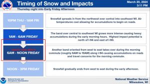
NWS Graphic Indicates Timing of Snow Event Thursday Night and Friday




Comments