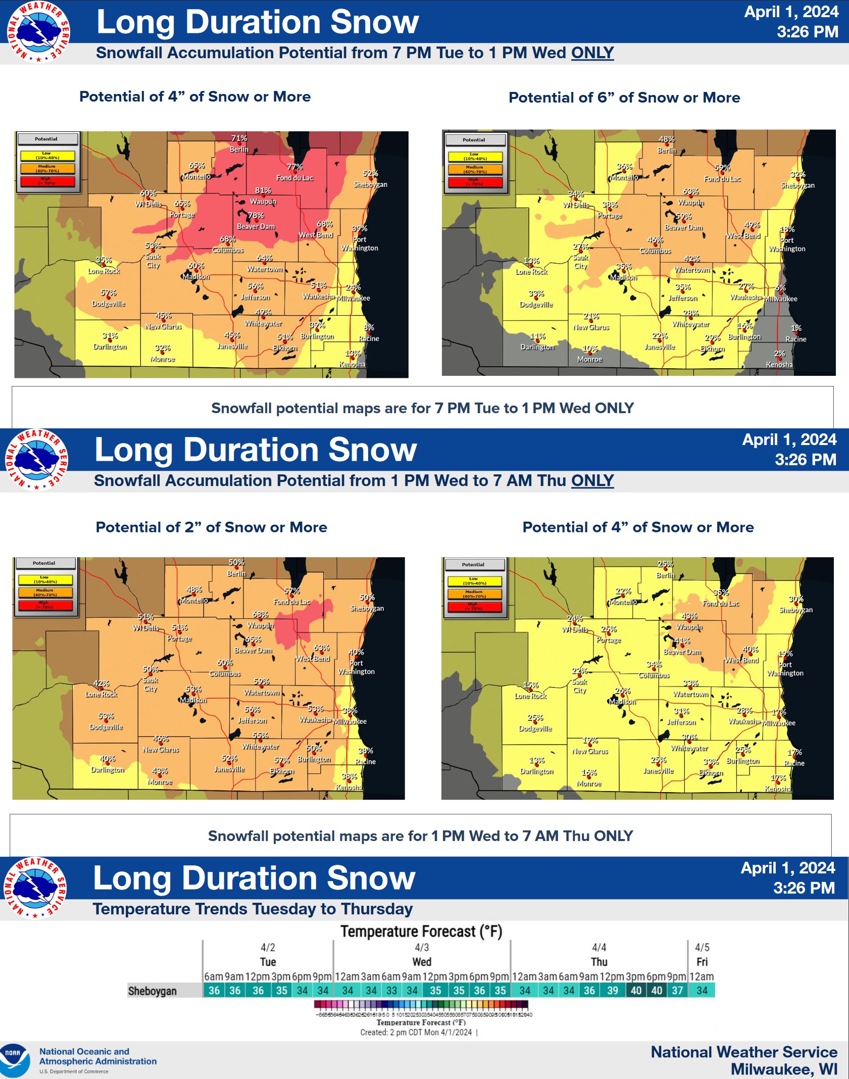
April snowfall is not unusual in our part of Wisconsin, and can be expected. Also expected is the disdain expressed by many now faced with forecasts that are much more March-like than April, coinciding with the home opener of the Milwaukee Brewers and the first tailgating opportunities for many.
Forecasters with the National Weather Service in Milwaukee have the unwelcome job of advising the public of the hazards that are on the horizon from the next weather system expected to blow through during the next 48 hours.
A long-duration snow is expected to start Tuesday morning, likely mixed with rain at first, but transitioning to all snow by Tuesday afternoon. Ground and road surface temperatures are already above freezing and, along with melting temperatures and elevated sun angle during the daytime…even with clouds…accumulations will be limited overall until nightfall. Then the overnight hours will be vulnerable to accumulation on the roads, accompanied by gusty northerly winds.
While most of the area will probably see only light snow showers by Wednesday afternoon, areas near Lake Michigan could see higher snowfall rates sustained for some time.
Current forecasts expect this system to exit entirely by late Thursday afternoon, with mostly sunny skies and temperatures back in the 40s in the Friday forecast




Comments