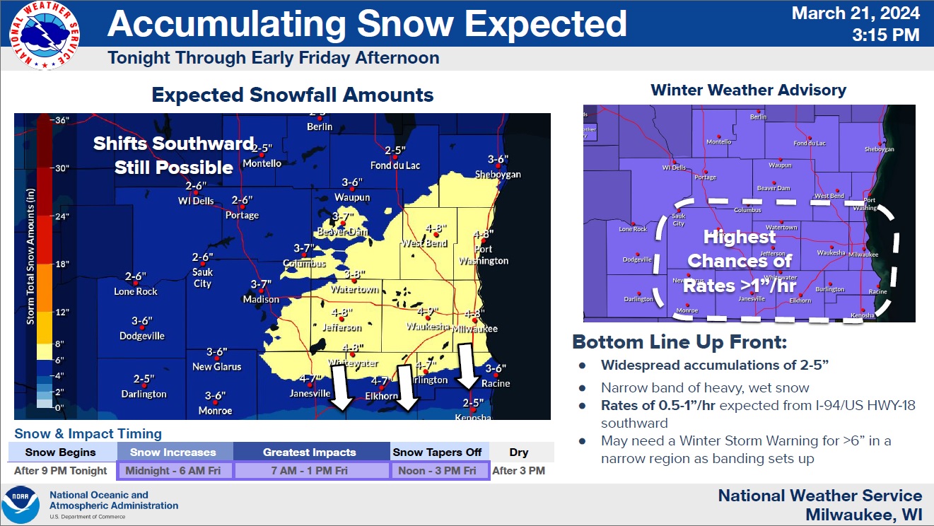
An early spring storm is now poised to deposit up to a half foot of snow in Sheboygan County. A Winter Weather Advisory was continued between 1 a.m. and 1 p.m. on Friday for snow that’s expected to begin late tonight, and reach peak intensity in the late morning hours Friday. Total snowfall projections issued within hours of the expected start of the storm are still allowing plenty of wiggle room. Much depends upon exactly where expected narrow bands of intense snowfall set up, with most expectations pegging that somewhere near the I-94 corridor. Areas under those heavy bands could see 6-8 inches of snow accumulate with areas outside of that experiencing closer to 2-5 inches.
In Sheboygan County, 3-4 inches looks likely in the far north and northwest, with 5 or 6 inches possible in the southern reaches. Should the heavier bands develop further north, then amounts here could increase. The most intense snowfall rates are expected late Friday morning into the noon hour.
All should end before nightfall on Friday, leaving a fairly pleasant day for cleanup on Saturday, while forecasters keep a close watch on the next system set to affect our part of the country. That will likely bring snow Sunday afternoon, with rain taking over on Monday as temperatures recover back into the upper 40s.
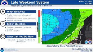
The National Weather Service is Already Looking Towards a Wet Storm System Late This Weekend




Comments