While hundreds of thousands hope that southeastern Wisconsin weather will be favorable for the first summer-season holiday weekend, forecasters are first drawing attention to the chance of thunderstorms today.
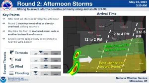
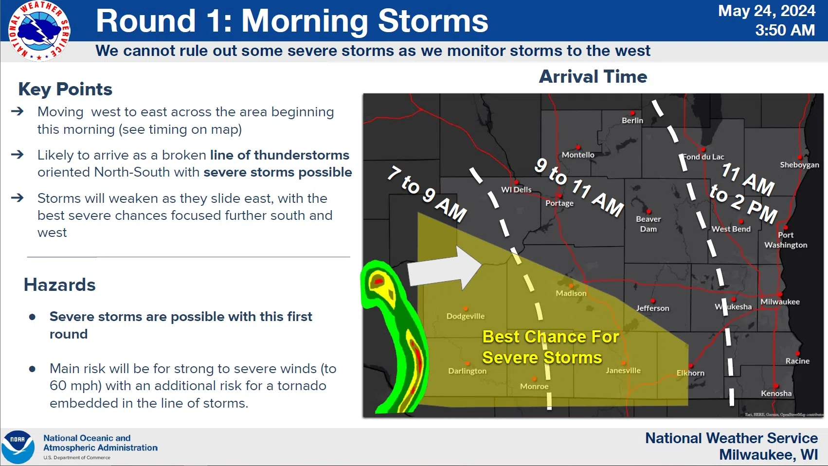
The pattern of days alternating between stormy and fair weather continues, and today could be stormy, with two rounds of thunderstorms possible. The first, likely moving through here between noon and 2 p.m., will be the remains of thunderstorms that reached severe levels in Iowa overnight. True to the past week’s form, those will weaken to more garden-variety storms as they move northeast through Wisconsin. While severe weather can’t be ruled out, that would likely be limited to areas south and west of Madison.
With a couple hours break to follow, the next line will bear watching for a slightly greater chance of damaging wind gusts and possible hail as it moves through our area between 3 and 5 p.m., but the highest risk for that will be south of I-94, especially near the Illinois state line.

NWS Graphic
As of now, Saturday is shaping up as the best day of the holiday weekend with plenty of sunshine, mild winds and temperatures around 70 during the day, low 50s at night. And true to recent trends, that means more showers and thunderstorms on Sunday and, unfortunately, cloudy, breezy and showery conditions look to linger on Memorial Day. If you have outdoor plans then, you’ll want to keep up with the forecast.


Comments