There’s not been much in-between to speak of concerning the Sheboygan area winter so far. It’s either been unusually mild, or viciously snowy and cold. Were it a battle, the unusually mild will have scored another victory round as a mix of snow, drizzle, light rain and fog now dominate this week’s forecast.
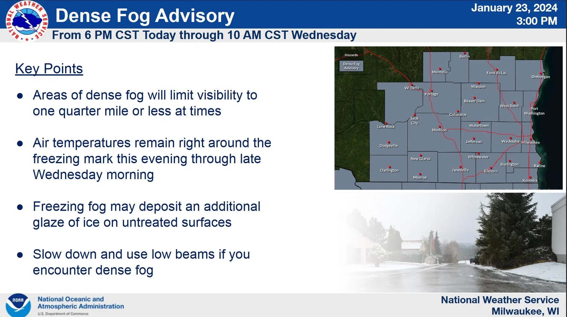
Of most immediate concern is the fog, which will likely reduce visibility to a quarter mile or less between 6 this (Tuesday) evening and 10 a.m. Wednesday, resulting in hazardous driving conditions. At the same time ground temperatures are still recovering from the arctic weather of the previous week, and so drizzle and fog could easily freeze to the surface, adding to the perils of travel. And according to the National Weather Service, as long as there’s a snowpack for the milder air now infiltrating to contact, fog will remain a likely impairment.

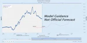
An Experimental Prediction Model for the Sheboygan River from the National Weather Service
Another concern looks a few days further to the chance that the combination of melting snow and additional rains could result in an increased risk for ice jams and the resulting lowland flooding near area rivers later this week.
An experimental computer model that predicts future flow rates doesn’t expect the Sheboygan River’s current 3-foot level at Esslingen Park to approach flood stage of 8 feet anytime soon, but predictions only go through February 2nd – along with an upward trend in the rate of flow at that point.


Comments