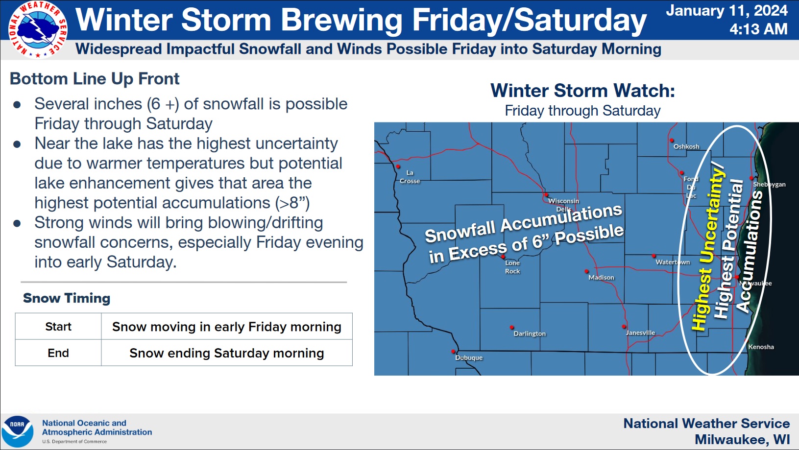
Forecasters at the National Weather Service are putting their focus on the next in a series of winter storms to affect Sheboygan County and Wisconsin. The first storm, on Tuesday, was labeled “a bust” by meteorologists in retrospect, considering that a slight change in path made a big difference in snowfall, yielding maybe half that of initial forecasts. Similar struggles to nail down amounts continue for the next storm, and a Winter Storm Watch remains in effect from 6 a.m. Friday until noon on Saturday.
This morning saw the expected overnight snowfall of around 2 inches of fluffy snow that made roads slippery throughout the County, but since it was light and fluffy the cleanup should be easy – saving needed energy for the expected next severe winter event that begins during Friday’s pre-dawn hours.
That snow will become wetter during the day, accumulating to around 4 inches before dark, and that’s when things appear set to ramp up with winds sustained at 30 and gusting over 45 miles an hour until sunup on Saturday, likely keeping crews busy clearing drifts, especially in open country, potentially for much of the day. And while Saturday will still see some snow, accumulations will be mostly light…but temperatures plunging to near zero by Sunday morning with dangerous windchills exceeding 20 below set the stage for arctic conditions that are likely remain in place through at least mid-week.




Comments