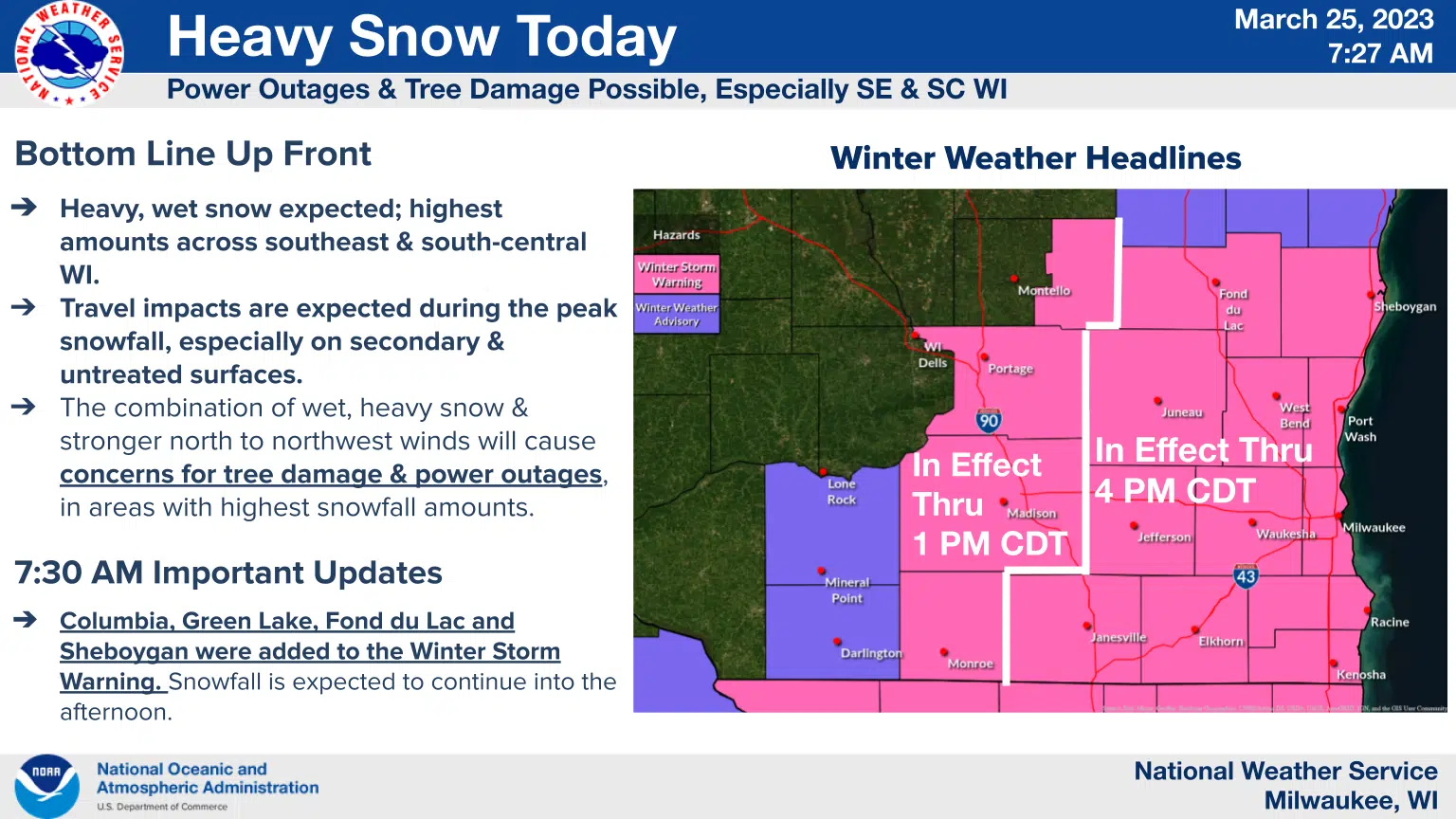
An early spring storm has become more than a nuisance for east-central Wisconsin and shortly after 7 a.m. the National Weather Service upgraded advisories for Sheboygan and Fond du Lac Counties to Winter Storm Warnings.
Although the system took longer than expected to begin, snow began falling heavily by 7 a.m. and is expected to continue until around 4 p.m. when the warning expires. Given the vigorous snowfall rates, travel is expected to become very difficult with roads building up a slushy, wet cover while winds and snow reduce visibilities. Total accumulations of 4 to 8 inches are now predicted, with mid-late morning contributing the heaviest snowfalls. The risk of tree damage and power outages increases with the buildup of the wet, dense snow and residents are being advised to prepare for those possibilities.
As is typical of late March snow, impacts of the storm are expected to be short-lived as sunshine and temperatures in the 40s return for Sunday.


Comments