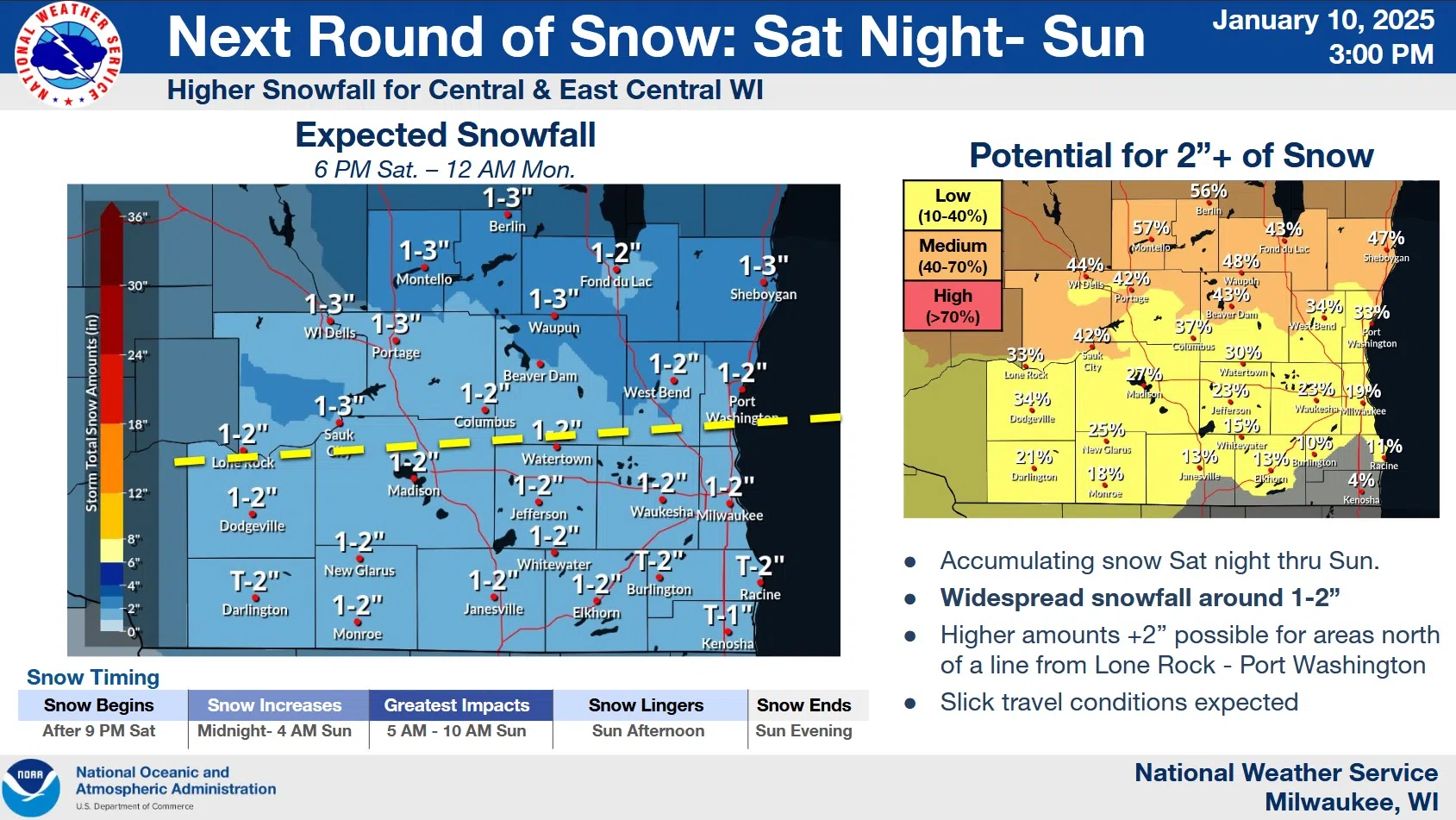
National Weather Service forecasters expect the next measurable snowfall to occur Saturday night into Sunday in the Sheboygan area. This follows a light snowfall of less than an inch as a rule that fell Friday morning.
After a mostly sunny start to the day Saturday, clouds increase overnight and snow is likely by 5 a.m. Sunday, with an inch or two not unlikely by the time it ends around sunset. Forecasters do advise, however, that there is a medium (40-60%) potential for areas north of a line from Lone Rock to Port Washington to see accumulations in excess of 2”. The greatest impact to travel now appears to be between 5 and 10 a.m. on Sunday.
Dry weather follows next week as arctic air invades. That will mean highs in the teens and lows in the single digits to near zero through Wednesday night.


Comments