First Spring, then Winter; the usual order is reversed, but that pretty much describes weather over the next 48 hours in the Sheboygan area.
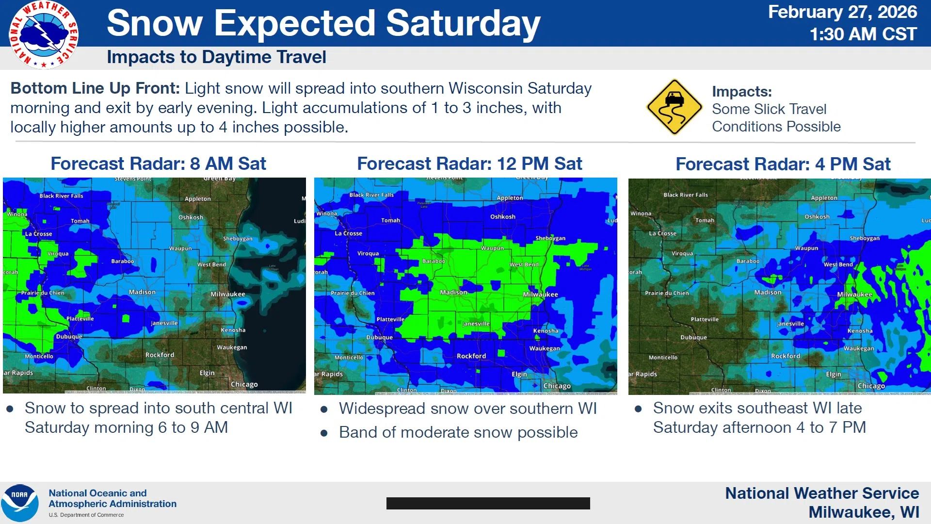
A vigorous low moving north of Lake Superior will drag warm air up from our south, setting the stage for a Friday more typical of late April, but a cold front moves through later today to make for some rude changes back to winter. A swath of mostly light snow sets up in a narrow east-west band across most of southern Wisconsin on Saturday, and somewhere within that band, accumulations could reach up to 4 inches.
Before then, though, highs today should be at least in the 50s over all of Sheboygan County, with some in the western reaches possibly hitting 60 degrees on breezy southwest winds. Those temps begin a downslide by mid afternoon, though, and could hit lows around 20 by sunup Saturday, and only the mid-20s are expected for highs tomorrow. To drive home the winter weather, the snow begins by 9 AM with an inch or two accumulating before ending around sundown.
As of now, Sunday looks cold and dry with slight improvement expected Monday.


Comments