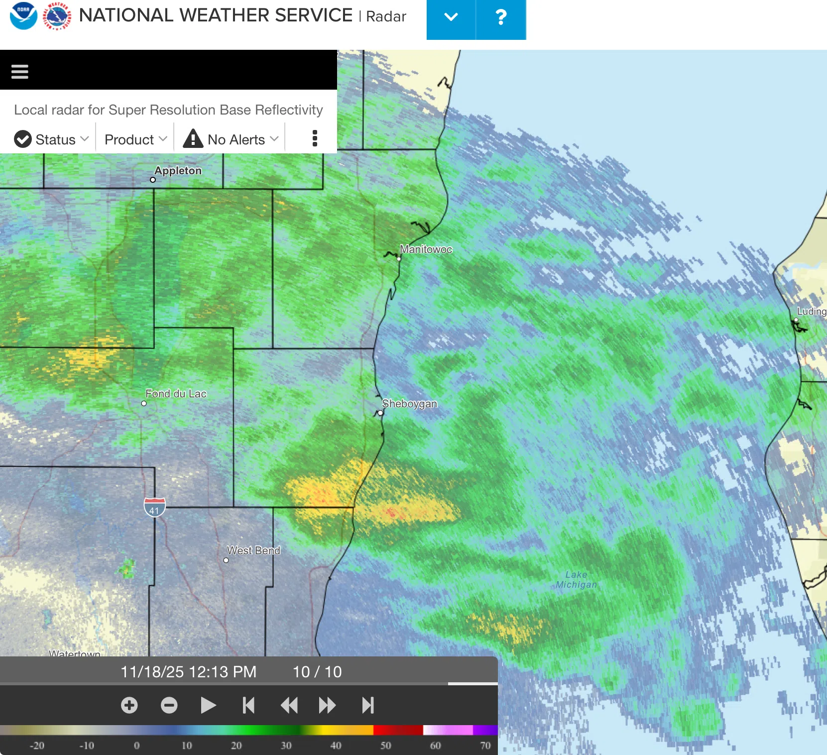
The weather elements lined up just right…or wrong…on Tuesday as snow that was predicted to stay inland instead fell with some intensity along the lakeshore.
Large flakes began to fall around 11:30 and by noon, snow and dropping temperatures made for a slushy mix on area roadways.
At one point, a ramp exiting Highway 23 onto I-43 had to be shut down after a highway worker reported seeing three different accidents on the cloverleaf, and Orange Cross Ambulance said it was encountering multiple slowdowns on the interstate.
Forecaster Andrew Quigley at the National Weather Service in Milwaukee confirmed with WHBL news at the time that a “little pocket of snow definitely overperformed on the rates!” that were expected.
In the wake of the precipitation an area of dense fog formed over central Wisconsin and a dense fog advisory for visibility under a mile was issued until 9 AM for Sheboygan, Manitowoc, Calumet, Fond du Lac and Washington Counties and points to the west, and with temperatures in the teens and 20s, freezing fog was a possibility for slick travel once again. The National Weather Service is urging caution on the roadways until later this morning.


Comments