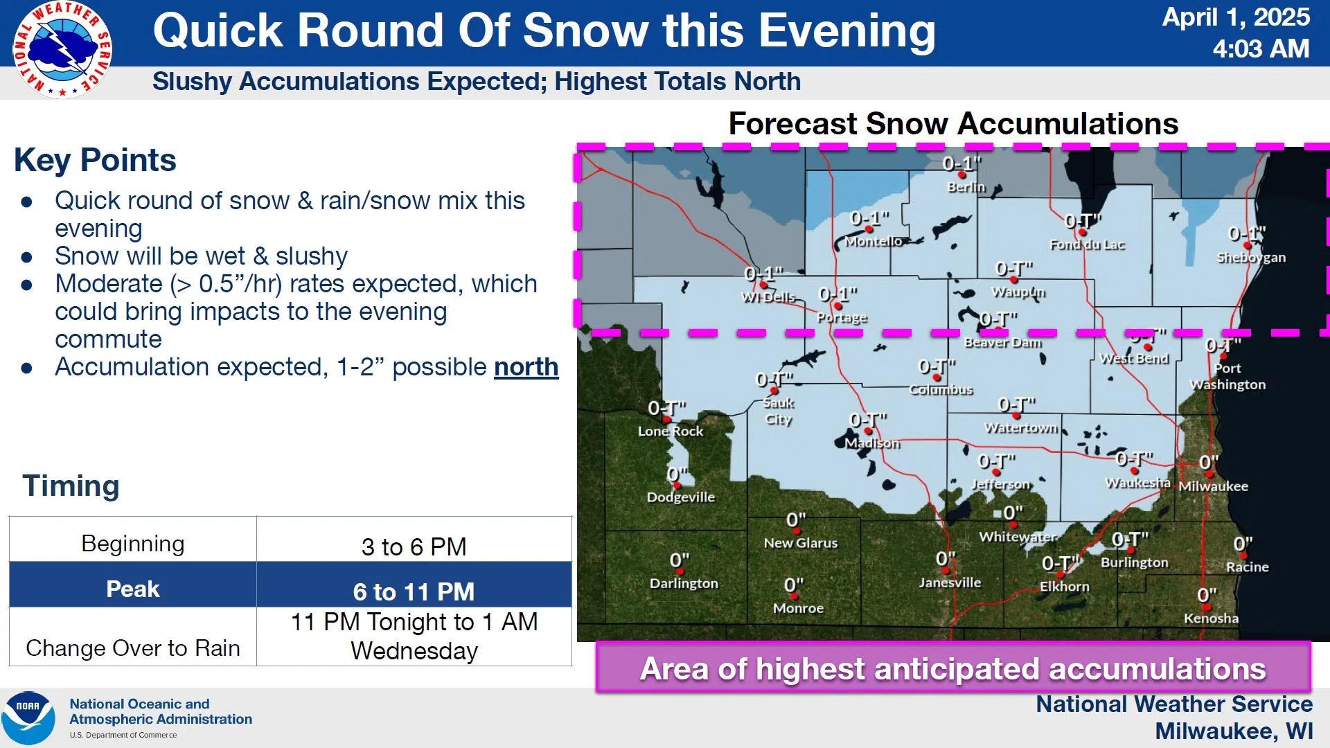
A typical Wisconsin smorgasbord of weather awaits the area on this April Fool’s Day, with both winter and springlike conditions on tap.
National Weather Service forecasters are advising that a quick round of wintery mixed precipitation is likely between 6 and 11 p.m. today, which could result in an inch or two of slushy snow greeting early risers on Wednesday morning, but with temps staying above freezing it shouldn’t last long. Rain takes over entirely by sunup, and there could even be some rumbles of thunder by tomorrow afternoon.
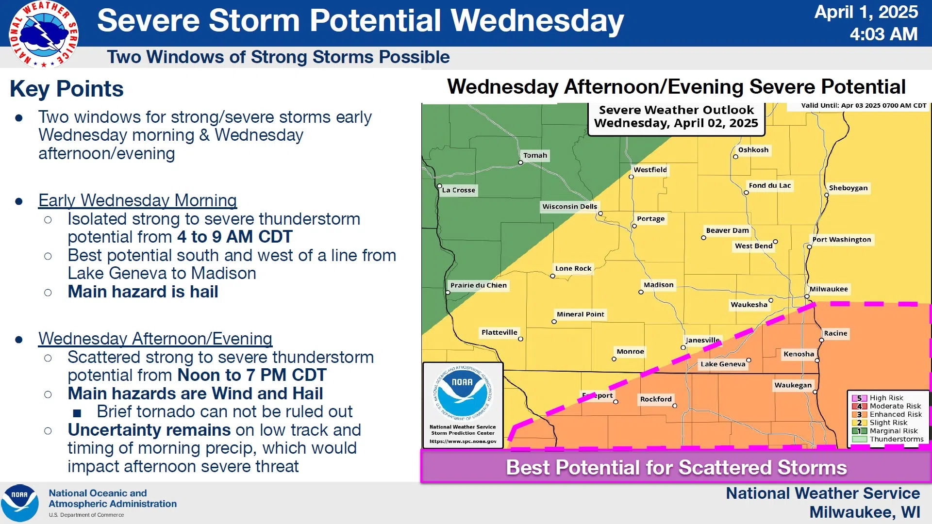
NWS Graphic
The energy for those storms comes on a strong push of southerly winds that could gust beyond 40 mph, sending temperatures into the mid 50s – at least away from the lake. A 2-in-5 risk of severe weather has been assigned for us tomorrow, with wind and hail comprising the biggest hazards – although a brief tornado or two isn’t being ruled out, especially in the far southeast counties.
After any remaining rain departs tomorrow night it’s expected that typical spring weather will dominate, with highs in the 40s to near 50 and lows in the 30s the rest of the week.


Comments