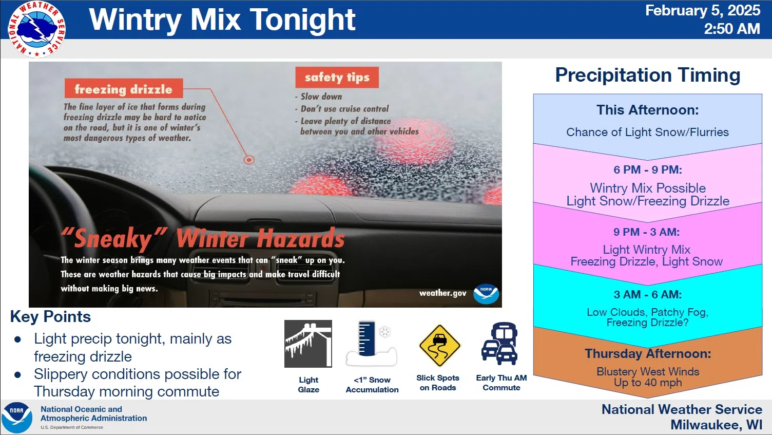
A combination of hazards that the National Weather Service has called “Sneaky” is being monitored for our area now through Thursday morning. The threats would be the result of an upper level wave of low pressure drawing warm, moist air up and above the colder air on the ground, setting the stage for light, mixed precipitation.
As of now, Sheboygan along with Marquette, Green Lake and Fond du Lac Counties, can probably expect more in the line of light snow and flurries – showing up sporadically at first – with steadier snowfall moving in from the south later this afternoon. That would soon be followed by the chance for freezing drizzle to mix in. Areas to the south will experience a greater threat of picking up anywhere from a glaze to less than a tenth of an inch of ice, but forecasters stress that even minor accumulations might be hard to detect on roadways at first, and can quickly cause difficult travel with major impacts. That being said, as of now there are no advisories north of the Illinois State Line.
Those traveling later today through the Thursday morning commute should prepare for slower speeds. Experts recommend putting a greater distance between vehicles and to never use cruise control in such conditions. Precipitation should be done by sunrise tomorrow with clouds breaking up gradually, and with winds gusting over 40 mph pushing temperatures into the mid 30s, hazardous conditions should be short-lived.


Comments