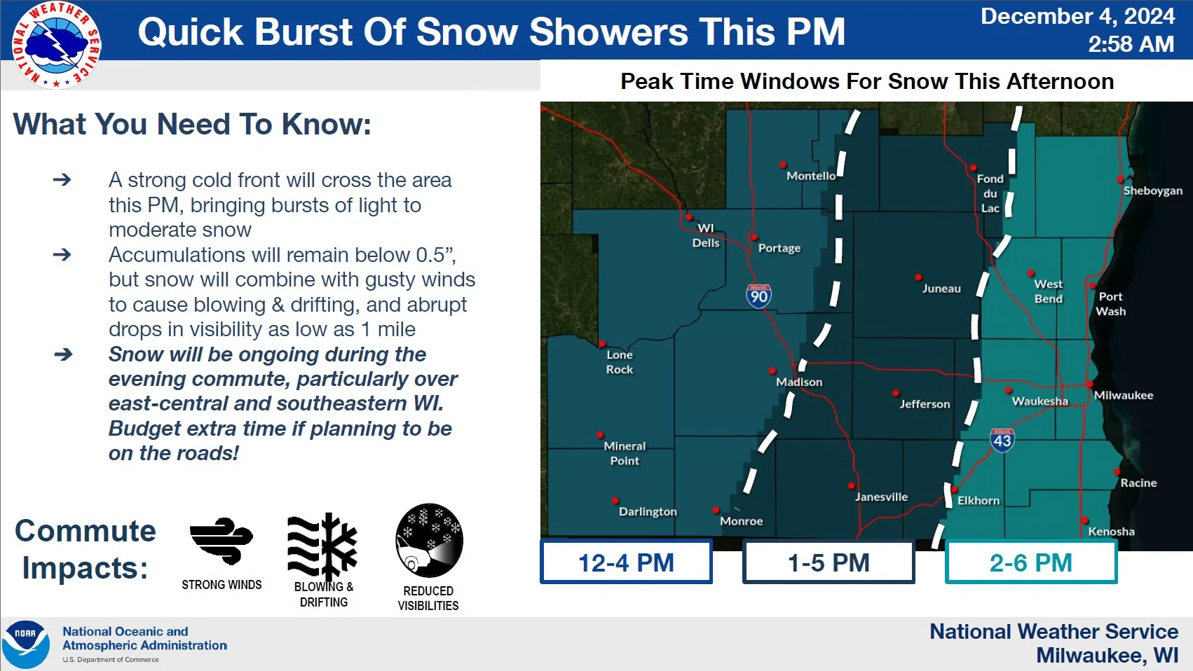
Winter is poised to assert itself once again in the Sheboygan area according to the National Weather Service. Forecasters there are advising that a strong cold front crossing the area in the mid-afternoon is likely to cause visibility problems on roadways, some of those becoming slippery enough for winds to combine to make road control an issue. Although snow accumulation itself isn’t expected to be significant…mostly below a half inch…it’s likely to accumulate in patches and drifts to create scattered slippery areas during the afternoon and evening commute, especially in open areas. Of greater, lasting impact, though, will likely be the winds.

NWS Graphic
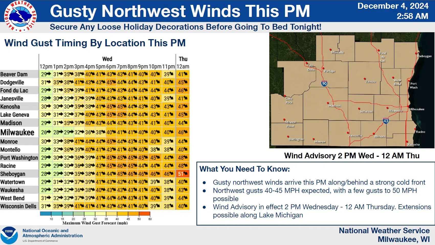
A wind advisory is in effect between 2 p.m. and midnight as sustained northwest winds of 20-30 mph will be accompanied by gusts as high as 45 mph, maybe even as high as 50 in isolated cases. Such winds will probably dislodge any loose holiday decorations, and could blow down tree limbs that can result in power outages. And although the wind advisory is now posted until midnight, gusts could remain above 40 mph until daybreak Thursday when, along with falling temperatures, wind chill readings will be driven below zero.


Comments