The combination of a month nearly absent of rain, and a windy influx of dry, Canadian air will make for elevated fire danger in Wisconsin this week according to the State DNR.
The change from summer to autumn-like conditions begins with the overnight passage of a cold front that, unlike many, will not have enough moisture to generate much – if any – rainfall. The Sheboygan County Airport which represents the National Weather Service’s official reporting location for the county, has received only 0.59” of rain this month, compared to a normal 2.68 inches, and October is poised to begin equally parched, keeping much of the summer’s aging vegetation primed for tinder.
The DNR reports that fire officials have already begun staging equipment in the northern half of the state, but also reminded the public that wildfires can start anywhere. The number-one cause of fires this time of year is from outdoor burning of leaves, brush and debris. Sparks from recreational equipment, campfires and hot ashes from fireplaces also contribute to the danger.
The DNR is hoping people will put off burning debris until conditions improve, specifically until the ground is entirely covered in snow. In the meanwhile be sure that any outdoor fire pit or burn barrel is entirely extinguished before leaving and stir ashes until they’re completely out, and to also pay close attention to any other activities that could cause sparks to fly.
The DNR’s WisBurn website, available here, offers an interactive map of current fire danger throughout the state.
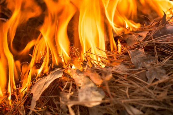
Stay vigilant and check fire danger before burning this week due to increasing fire danger. / Photo Credit: iStock/Jenniveve84


Comments