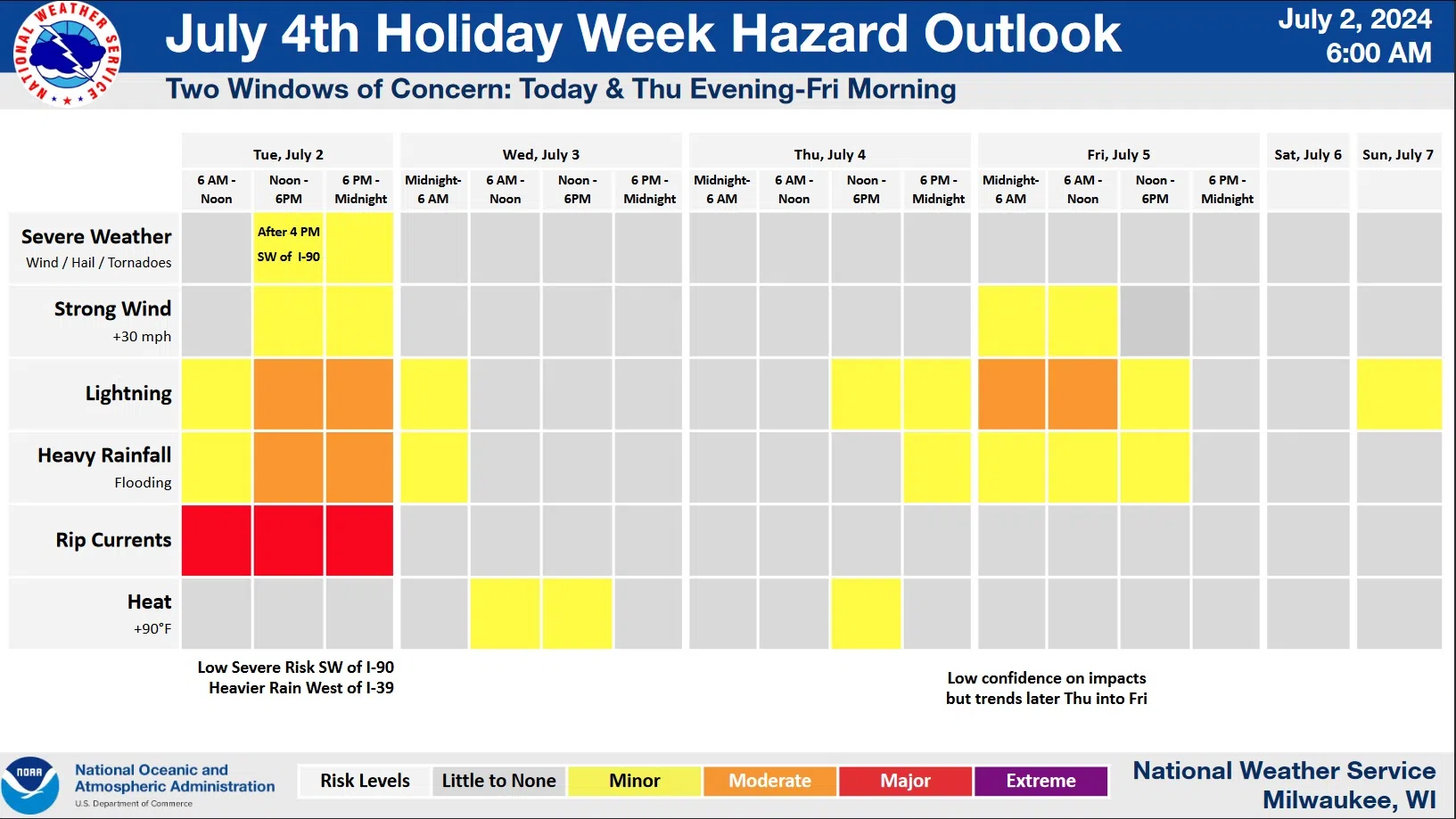
National Weather Service forecasters say that there’s a risk for several forms of severe weather over the next few days. The greatest danger overall comes from brisk southeast winds generating big Lake Michigan waves and the accompanying rip currents. Waves as high as 3-6 feet between Sheboygan and Port Washington pose the greatest risk, but people along the entire Wisconsin shoreline are being warned to avoid those waters until waves subside, likely sometime on Wednesday.
National Weather Service Graphic
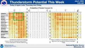
If there was good news, it was that most of Wednesday, and much of Thursday, should be free of rain. Unfortunately, that leaves today with a threat of up to an inch-and-a-half of unwelcome downpours, and also has at least some chance of thunderstorms after 3 p.m. on the 4th of July. That being said, the bigger threat of thunderstorms on the 4th waits until the overnight hours into Friday. For now – keep up with the forecast when planning your activities.


Comments